
Guide to Getting to Siskiyou County and Getting Around
Tucked into the far northern corner of California, Siskiyou County is one of those places that feels off the beaten path.
That’s because it is, despite having a major Interstate running through it.
While it’s not as well-known as other parts of California, getting to Siskiyou County is easier than you might think.
Whether you’re flying in, driving up, or hopping on a train, here’s what you need to know to plan your trip.

Where is Siskiyou County?
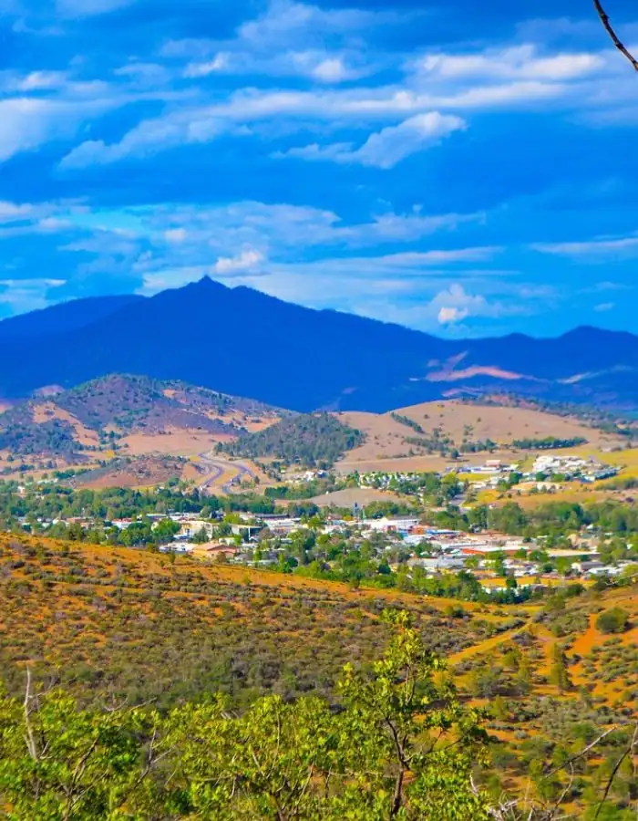
Siskiyou County sits at the very top of California, right on the border with Oregon. It’s part of the Cascade and Klamath mountain regions and includes towns like Yreka (the county seat), Mount Shasta, Weed, Dunsmuir, and McCloud.
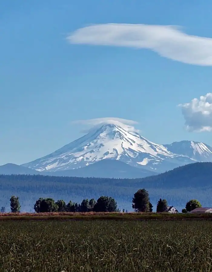
This is a rural area full of natural beauty. Mount Shasta dominates the skyline, and rivers, forests, and lakes are never far away.
Interstate 5 runs right through the county, making it surprisingly accessible despite its remote feel.
How to Get to Siskiyou County
Flying to Siskiyou County
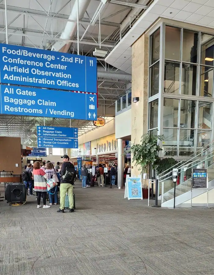
There’s no major airport inside Siskiyou County, but two regional airports nearby make it relatively easy to fly in and rent a car for the rest of your journey.
Medford, Oregon (MFR)
Medford is the closest airport to Siskiyou County, about 45 minutes north of Yreka. It offers regular service from cities like San Francisco, Portland, Seattle, Denver, and Phoenix.
Most major rental car companies operate out of Medford, and the drive south into California is scenic and straightforward.
Redding, California (RDD)
Redding is about 1.5 hours south of Yreka. It’s a smaller airport with limited commercial flights, but it’s a convenient option if you’re already traveling within Northern California.
Redding also has car rental services, and the drive north on I-5 takes you through beautiful Shasta Lake and Castle Crags State Park.
Driving to Siskiyou County
Many visitors arrive by car, especially those coming from other parts of California or the Pacific Northwest. Here are some general drive times to Yreka:
- From San Francisco: ~5.5 hours
- From Sacramento: ~4 hours
- From Portland: ~5 hours
- From Ashland/Medford: 45 minutes to 1 hour
- From Redding: ~1.5 hours
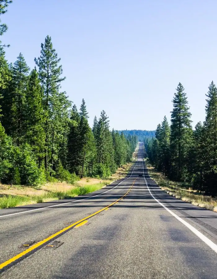
The most common route is via Interstate 5, which runs north and south and passes through key towns like Dunsmuir, Mount Shasta, Weed, and Yreka.
If you’re coming from the coast or eastern Oregon, you’ll find some beautiful backroads. Just plan for extra time and check road conditions, especially in winter.
Even though we’re geographically close to the coast, it’s about a 4-hour drive due to the mountains.
In the winter, the freeway is sometimes closed due to snow. Always carry tire chains, as well as water and extra blankets.
Pro tip: If you buy tire chains and don’t use them, many retailers will let you return them. Of course, they have to be unopened and in perfect condition.
Taking the Train to Siskiyou County
For something a little different, consider taking Amtrak’s Coast Starlight. This long-distance train runs daily between Los Angeles and Seattle and makes a stop in Dunsmuir, a historic railroad town on the southern end of Siskiyou County.
From Dunsmuir, you can explore nearby hiking trails or continue on by car. The train ride itself is known for its views, especially through the mountains of Northern California.
It’s important to know that Amtrak goes through Dunsmuir in the middle of the night or very early morning. The station there is just a platform.
There are no car rental agencies in Dunsmuir, so you’ll need to arrange for a ride. Uber is available in the area, but it’s not cheap.

Getting Around Siskiyou County
To put it simply: you’ll need a car. This is a rural area, and public transportation is limited to a few local bus routes that won’t reach most trailheads, lakes, or smaller towns.
If you’re flying in, rent a car at the airport. During winter months, a vehicle with all-wheel drive or four-wheel drive is recommended, especially if you plan to explore areas around Mount Shasta or go up into higher elevations.
Uber and Lyft are available in some parts of Siskiyou County, including around Mount Shasta, Weed, and Yreka.
However, service can be limited and wait times long, especially outside of peak hours or in more remote areas. Rides also tend to be pricier than in larger cities, so plan accordingly.
Tips for Planning Your Trip to Siskiyou County
Best time to visit: Late spring through early fall offers the best weather and access to outdoor activities. Winter brings snow and is great for skiing or snowshoeing, but road conditions can be tricky.
Weather: Be prepared for sudden changes, especially in the mountains. Pack layers. Yreka is only 37 miles from Mt. Shasta, but the two towns have very different weather. It may be clear in Yreka and snowing hard in Mt. Shasta.
Navigation: Cell service is spotty in some remote areas. Download offline maps ahead of time or bring a paper map if you’re heading into the backcountry.
Driving in winter: Chains may be required during snowstorms. Check Caltrans for up-to-date road conditions.
Final Thoughts
Siskiyou County may feel like a hidden gem, but once you know how to get here, it becomes the kind of place you’ll want to return to again and again.
Whether you’re road-tripping through Northern California or planning a weekend retreat in the mountains, getting to Siskiyou is all part of the adventure.
